
Файл:Malta - Location Map (2013) - MLT - UNOCHA.svg

Арыгінальны файл (SVG-файл, намінальна 251 × 251 піксэл, памер файла: 902 кб)
|
|
Гэты файл паходзіць зь Вікісховішча. Зьвесткі пра гэты файл зь яго старонкі апісаньня прыведзеныя ніжэй. Вікісховішча — сховішча вольных мэдыяфайлаў. Вы можаце дапамагчы. |
_-_MLT_-_UNOCHA.svg?uselang=be-tarask)
Апісаньне
| Апісаньне |
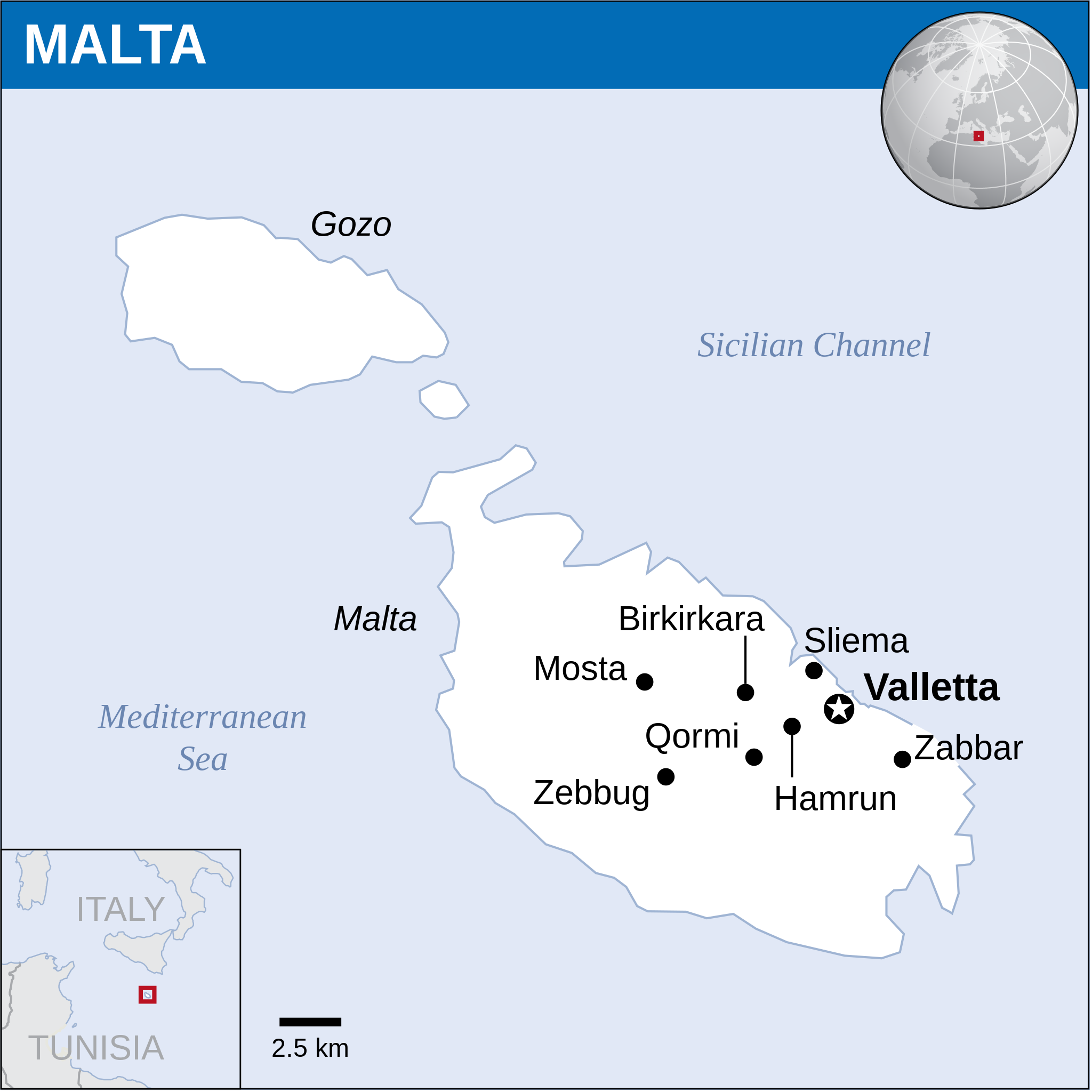
English: Locator map of Malta. |
| Дата | |
| Крыніца |
English: Malta Locator Map (ReliefWeb) |
| Аўтар | |
| SVG genesis | Гэты SVG файл выкарыстоўвае ўбудаваны тэкст, які можа быць лёгка перакладзены ў тэкставым рэдактары. |
Ліцэнзія
- Вы можаце свабодна:
- дзяліцца – капіяваць, распаўсюджваць і перадаваць гэты твор
- ствараць вытворныя творы – адаптаваць твор
- Пры выкананьні наступных умоваў:
- пазначэньне аўтарства – Вы мусіце пазначыць аўтарства, падаць спасылку на ліцэнзію і пазначыць, ці былі зробленыя зьмены. Вы можаце зрабіць гэта любым разумным спосабам, але не такім чынам, каб склалася ўражаньне, што ліцэнзіят падтрымлівае вас ці выкарыстаньне вамі гэтага твору.
 This map is part of a collection of 216 free country maps, created by the UN Office for the Coordination of Humanitarian Affairs (OCHA), to be used in print, web or broadcast products.
The ReliefWeb Location Maps released here are maps that highlight a country, its capital, major populated places and the surrounding regions. Attribution Requirements
Using the map without modifications: ensure that the sources and the disclaimer are below the map. Credit as follows: "Credit: OCHA". For use with alteration: remove the OCHA logo and disclaimer following any modification to the map, but keep the data sources as mentioned below the map. Credit the modified map as follows: "Based on OCHA map". You are responsible for the content of your map. We are keen to receive your feedback and hear how you used OCHA's maps. We would be grateful if you would notify us by e-mail and share your work with us. UN Disclaimer
The designations employed and the presentation of material of this map do not imply the expression of any opinion whatsoever on the part of the Secretariat of the United Nations concerning the legal status of any country, territory, city or area or of its authorities or concerning the delimitation of its frontiers or boundaries. |
Гісторыя файла
Націсьніце на дату/час, каб паглядзець, як тады выглядаў файл.
| Дата і час | Мініятура | Памеры | Удзельнік | Камэнтар | |
|---|---|---|---|---|---|
| цяперашняя | 06:56, 19 лістапада 2022 | | 251 × 251 (902 кб) | Pengetik-AM | File uploaded using svgtranslate tool (https://svgtranslate.toolforge.org/). Added translation for id. |
| 09:51, 20 жніўня 2016 |  | 251 × 251 (899 кб) | Wereldburger758 | Resized page to drawing. Removal watermark. Validation of image. | |
| 02:54, 8 траўня 2014 |  | 254 × 254 (882 кб) | UN OCHA maps bot | == {{int:filedesc}} == {{Information |description={{en|1=Locator map of Malta.}} |date=2013 |source={{en|1=[http://reliefweb.int/map/malta/malta-location-map-2013 Malta Locator Map (ReliefWeb)]}} |author={{en|1=[[w:en:United Nations Offi... |
Выкарыстаньне файла
Наступная старонка выкарыстоўвае гэты файл:
Глябальнае выкарыстаньне файла
Гэты файл выкарыстоўваецца ў наступных вікі:
- Выкарыстаньне ў bh.wikipedia.org
- Выкарыстаньне ў id.wikipedia.org
- Выкарыстаньне ў ka.wikipedia.org
_-_MLT_-_UNOCHA.svg)